Cartography and Brazilian Army
1919-1922
From colonial Brazil to the early years of the Republic, the representation of the Brazilian territory has always proved to be a challenge. Whether for the vast area to be represented or the complexity of the terrain, the challenge of mapping such an immense nation, in times of scarce technological means, encompasses difficulties and setbacks that, only as time went by, were progressively overcome.
In this context, Brazilian Army was present and contributed decisively to the advancement of cartography in the country. Brazilian cartographic technology received great momentum in the early years of the 20th century. Up until then, the charts were more of an artistic representation. Consequently, the material did not have a high degree of reliability and precision, despite its undeniable contribution, considering the standards of the time, and its inestimable historical value.
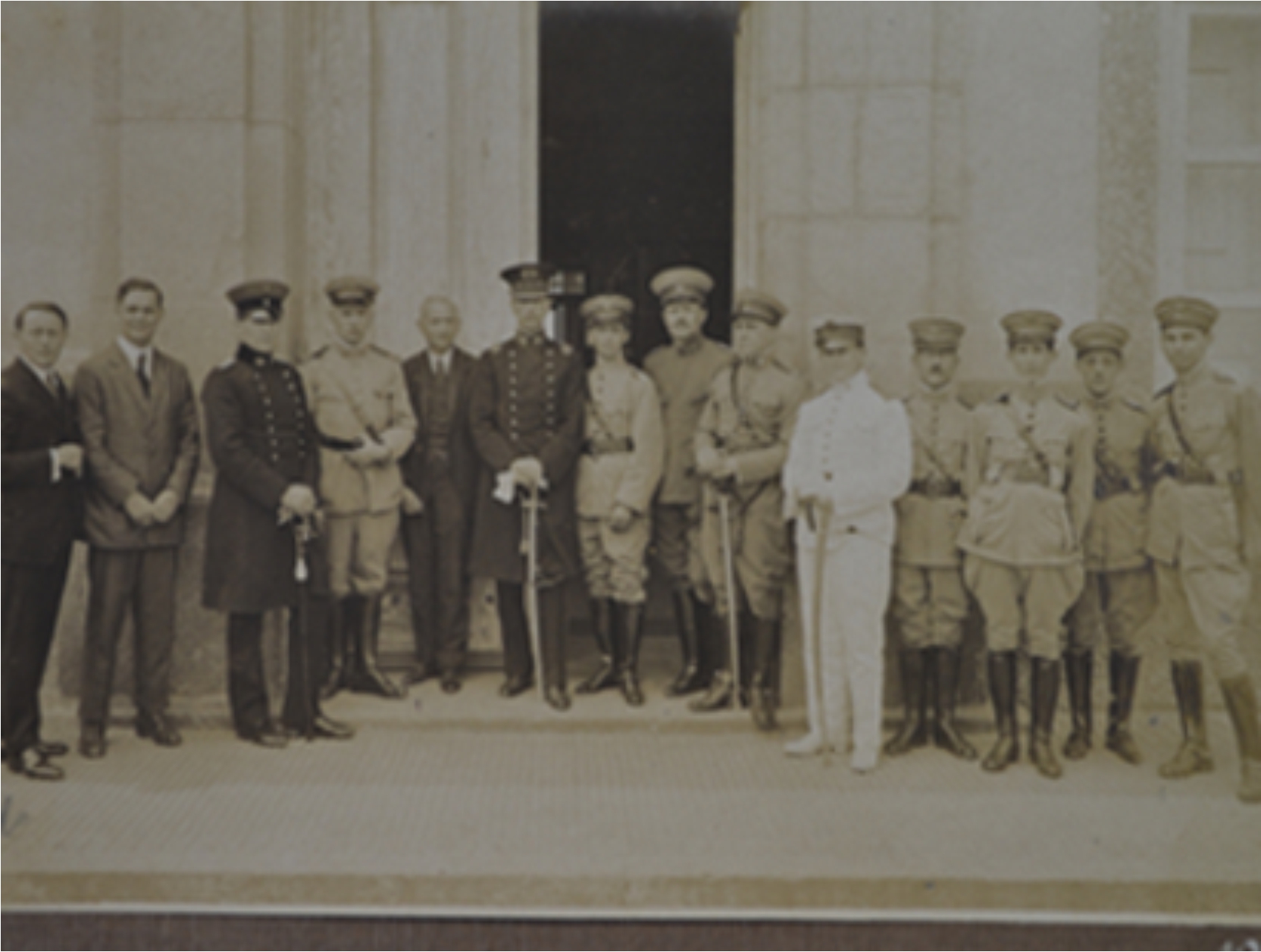
Faced with this scenario, in 1918, based on the suggestion of Major Alfredo Vidal, Brazilian Army hired Austrian technicians and engineers to organize the Military Geographic Service.
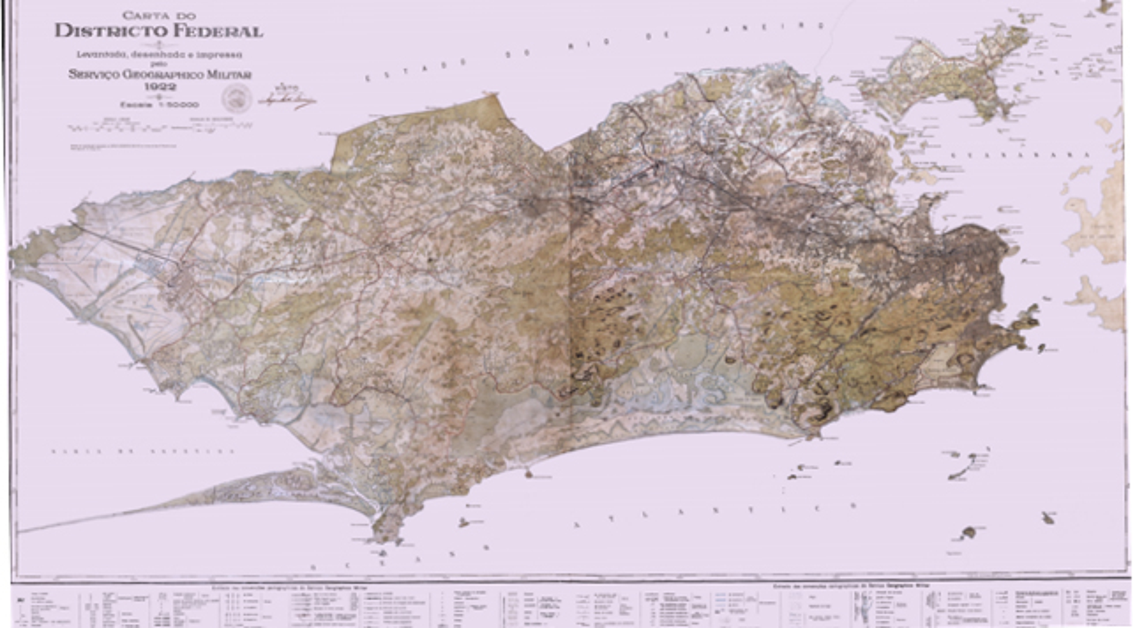
Since the arrival of the Austrian Cartographic Mission, in 1920, and by the new techniques brought along, cartographic production began to have a technical-scientific approach. It was in this context, for example, that the "Topographic Map of the Federal District " (present-day Rio de Janeiro City) was produced, and displayed at Army's booth at the International Exhibition of the Independence Centenary, in 1922.
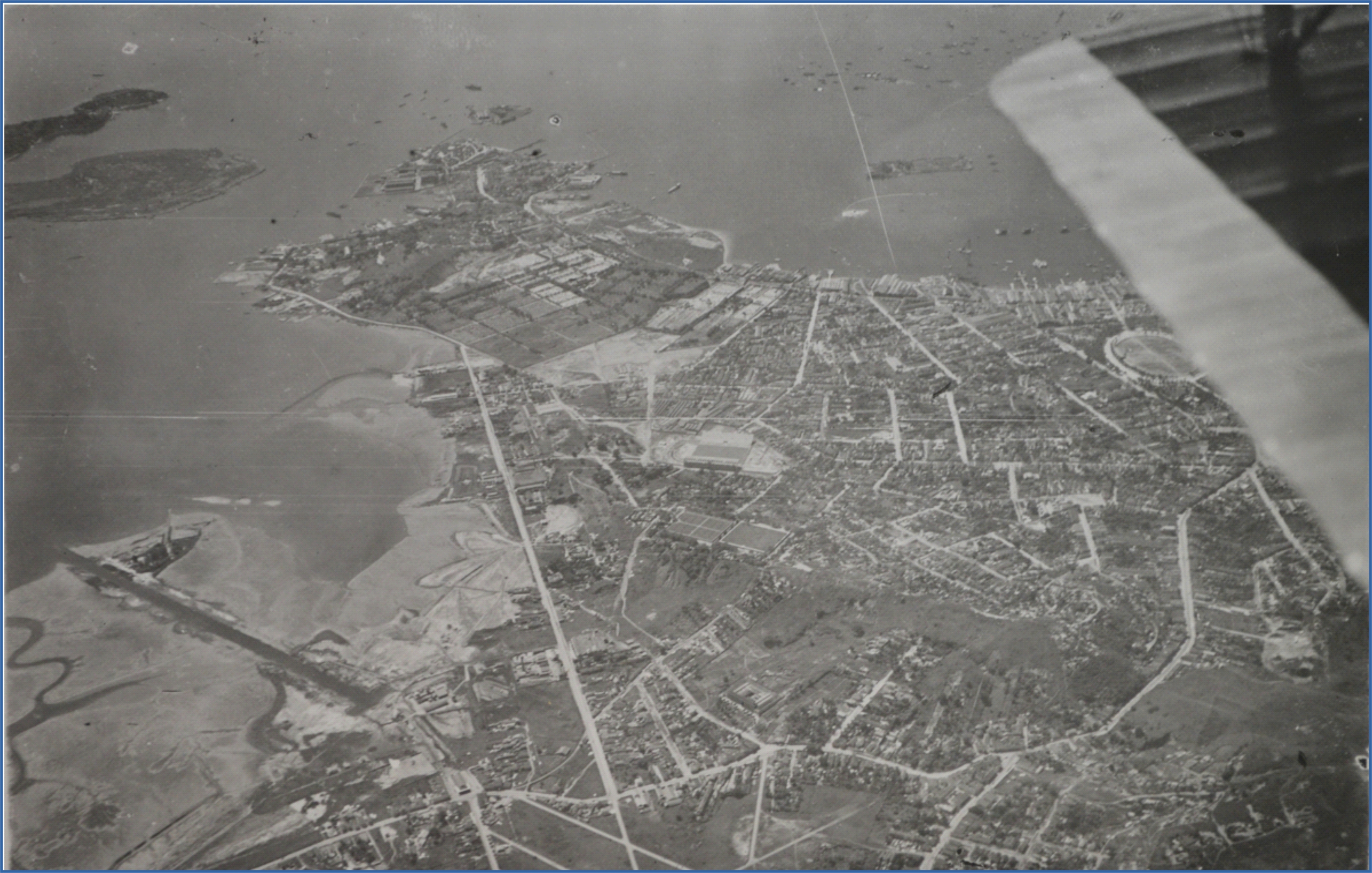
The Austrians introduced the topographic survey to the drawing board, the stereophotogrammetric methods of use of terrestrial and aerial photography, and the offset printing of charts.
From the regulation of Directorate of Geographic Service (DSG), in 1946, through the creation of National Council of Cartography, in 1961, the creation of National Commission of Military Cartography (1995-2003) and, finally, in 2008, the creation of the National Spatial Data Infrastructure, Brazilian cartography has not stopped evolving and innovating.
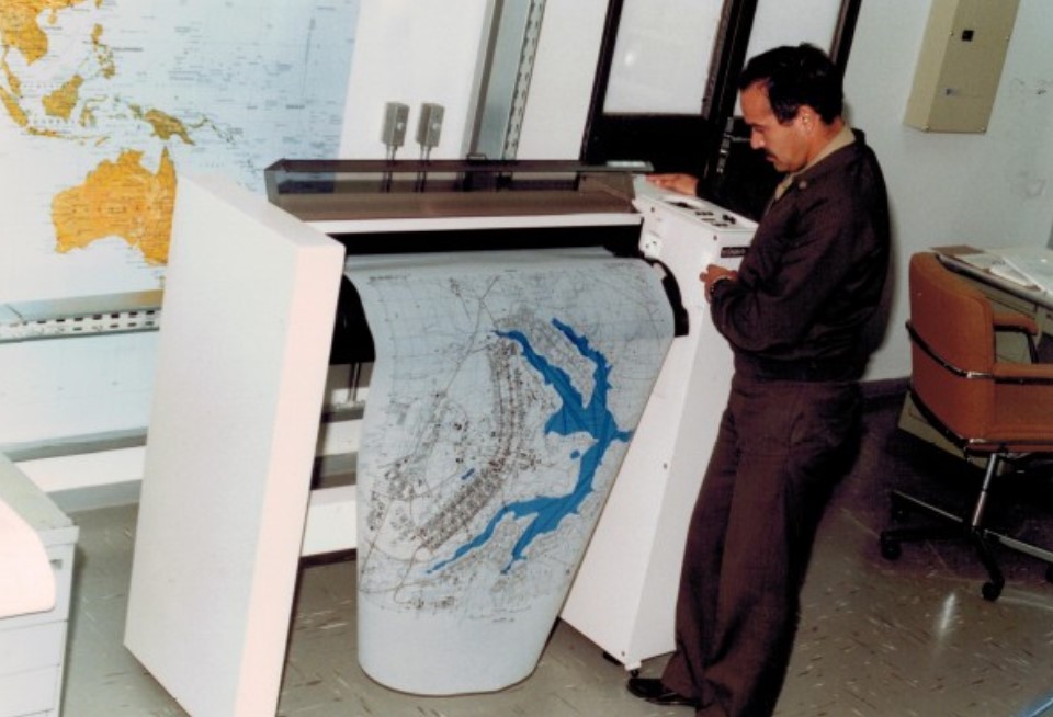
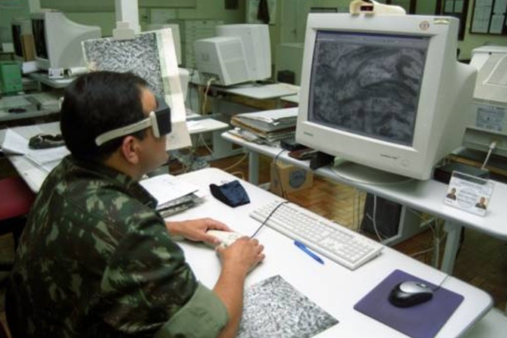
In this new conjuncture, an important milestone for the Army was the creation, in 1987, of the Army's Automated Cartography Center, in Brasília-DF. At this new reference center, the first major paradigm shift in DSG's cartographic production activities began with the replacement of traditional analog cartography procedures with digital automated cartography.
Finally, the Brazilian Army, through DSG, has been fulfilling, for more than a century, its legal attribution of producing awareness about the national territory in favor of its integrity and the development of Brazilian society, continuously acting in the modernization of its resources in the face of the immense technological advances that have occurred over the years.